GSA Guide - Victoria Bridge Claimed
URPoint Details
This URP is provided and maintained by members of the Geological Society of Australia as a geo-located community knowledge service.
 Victoria BridgeHistory:
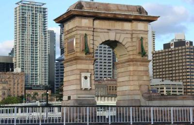
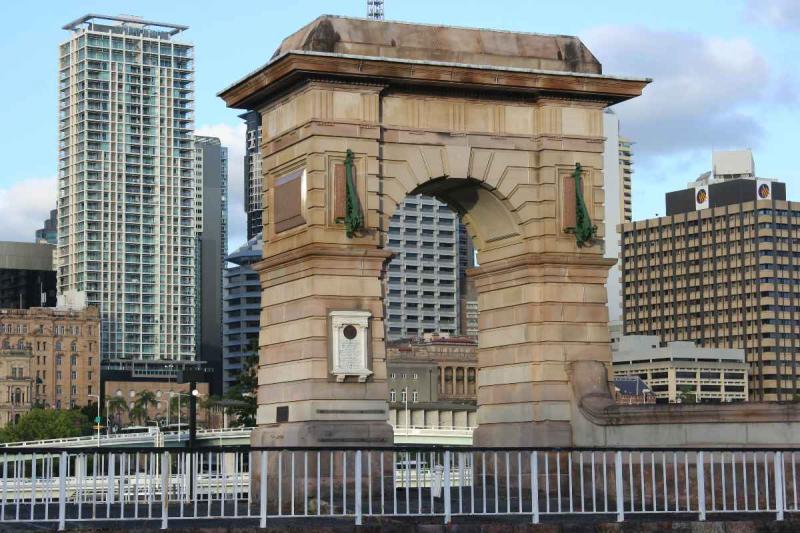
The current Victoria Bridge is the third permanent crossing, which replaced previous bridges at a key infrastructure crossing point for a city repeatedly endangered by serious flooding in its young history. The abutment of the second bridge was left as a constant reminder of the engineering spirit of this city's people to combat this threat.
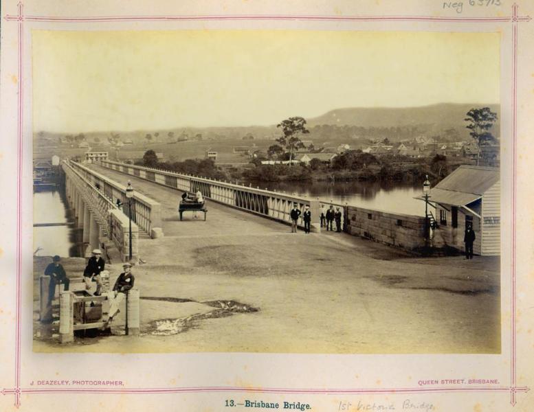
The first bridge over the Brisbane River at this location was planned in 1861 and work commenced in 1864. The bridge, known as Brisbane Bridge was a tolled, timber structure which opened to traffic in June 1865. Plans for an upgrade to an iron lattice-girder design failed, and the wooden bridge soon deteriorated due to marine wood worm and collapsed in 1867. In 1871, an English company called Peto, Brassey and Co, completed an iron structure bridge, which was opened by the Governor of Queensland, the Marquis of Normandy, on 15th June 1874.
 Brisbane Bridge - First Victoria BridgeThis bridge was recognized as the first 'Victoria Bridge'. The bridge included a turning span to allow tall-masted river traffic to pass upstream, but after the tram lines were laid, the turning span was fixed into position. This bridge was partially washed away by the 1893 Brisbane
- Type:
- Landmark


