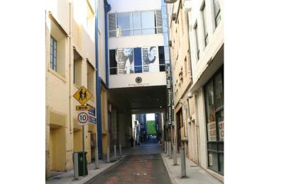
GSA Guide - Burnett Lane - Queen Adelaide Arcade Claimed
URPoint Details
This URP is provided and maintained by members of the Geological Society of Australia as a geo-located community knowledge service.
The intersection of the Queen Adelaide Arcade with Burnett Lane features a compass motive created in stone.
History:
Burnett Lane is steeped in history dating back to the 19th century, but by the start of the 21st century it had become a back alley for local traders to store their rubbish bins.
Before 1988 the former Allan and Stark and the Myer department stores was split in half by Burnett Lane. The arcade through the Queen Adelaide Building used to be the main thoroughfare through the old stores. The building link on the first-floor spans over Burnett Lane. T
he intersection of the Queen Adelaide Arcade and Burnett Lane features compass motive created from granite and and gabbro. In 2008 the Lord Mayor's Vibrant Laneways and Small spaces project improved the lane usage, including a new painted road surface [and the use of a catenary lighting system (lighting suspended from a system of cables).
The project was designed to achieve a transformation of Burnett Lane into a mixture of commercial and cultural opportunities. Presently hidden away down this laneway are secret cafes and bars filled with trendsetters and connoisseurs.
Building Stones:
At the
- Type:
- Landmark


