


Wildlife – Archerfield Airport Guide Claimed
Gallery
URPoint Details
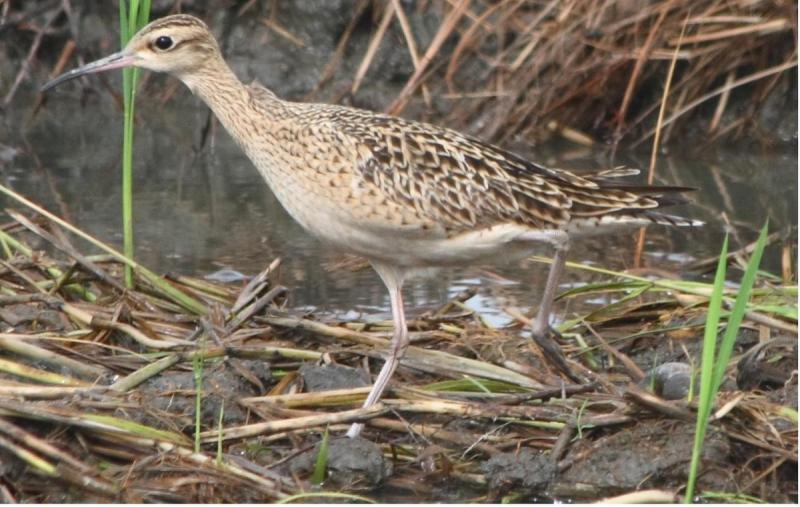
Wildlife around Archerfield Airport
THE LAND that the airport occupies was cleared by early settlers in the mid-1800s and used for farming.
By 1931, with the exception of the Oxley Creek environs, the area was an open grassed paddock and since then, the airport has been managed mainly as a grassed area, with extensive mowing and removal of large trees where these infringe on obstacle clearance standards.
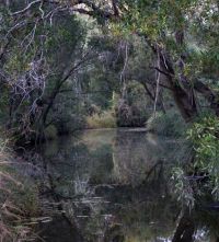
Trees and shrubs grow along the banks and flood area of Oxley Creek, and there is planted vegetation around the built up areas of the airport.
Oxley Creek context
Oxley Creek Catchment has an area of about 260 square kilometres. The creek is about 50km long and flows from the Flinders Peak Region to the Brisbane River.
The airport is in the lower to middle reaches of the creek catchment, about 500m upstream of the confluence of the Oxley and Blunder Creeks. This part of the Oxley Creek catchment is urbanised, and the land along the creek is used for housing, industry, open space, and sand extraction.
Oxley Creek is part of a regional open space and habitat corridor that runs through the southern part of Brisbane to the Brisbane River. In the general
- Type:
- Wildlife
- Establishment year:
- 1930